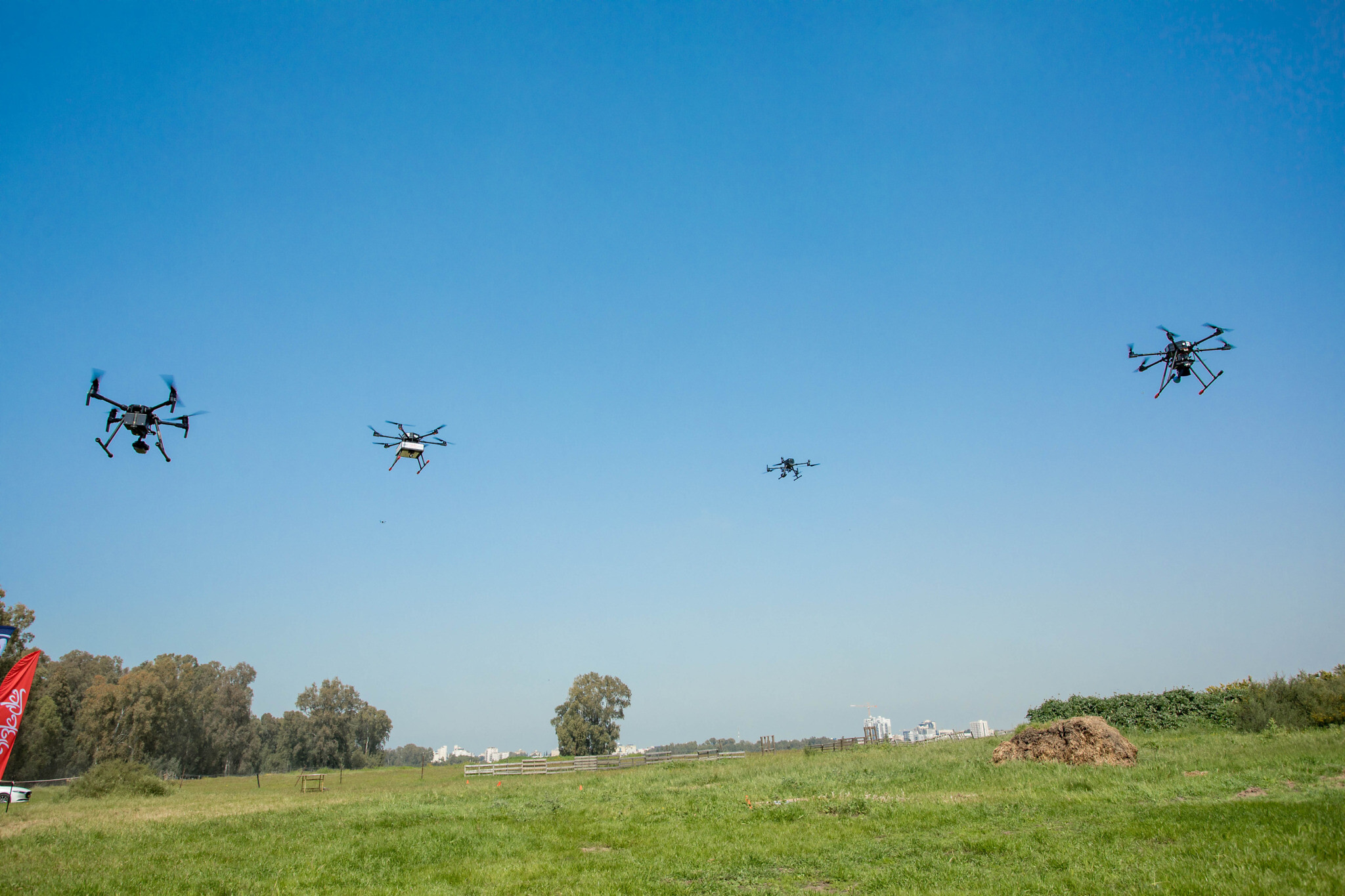
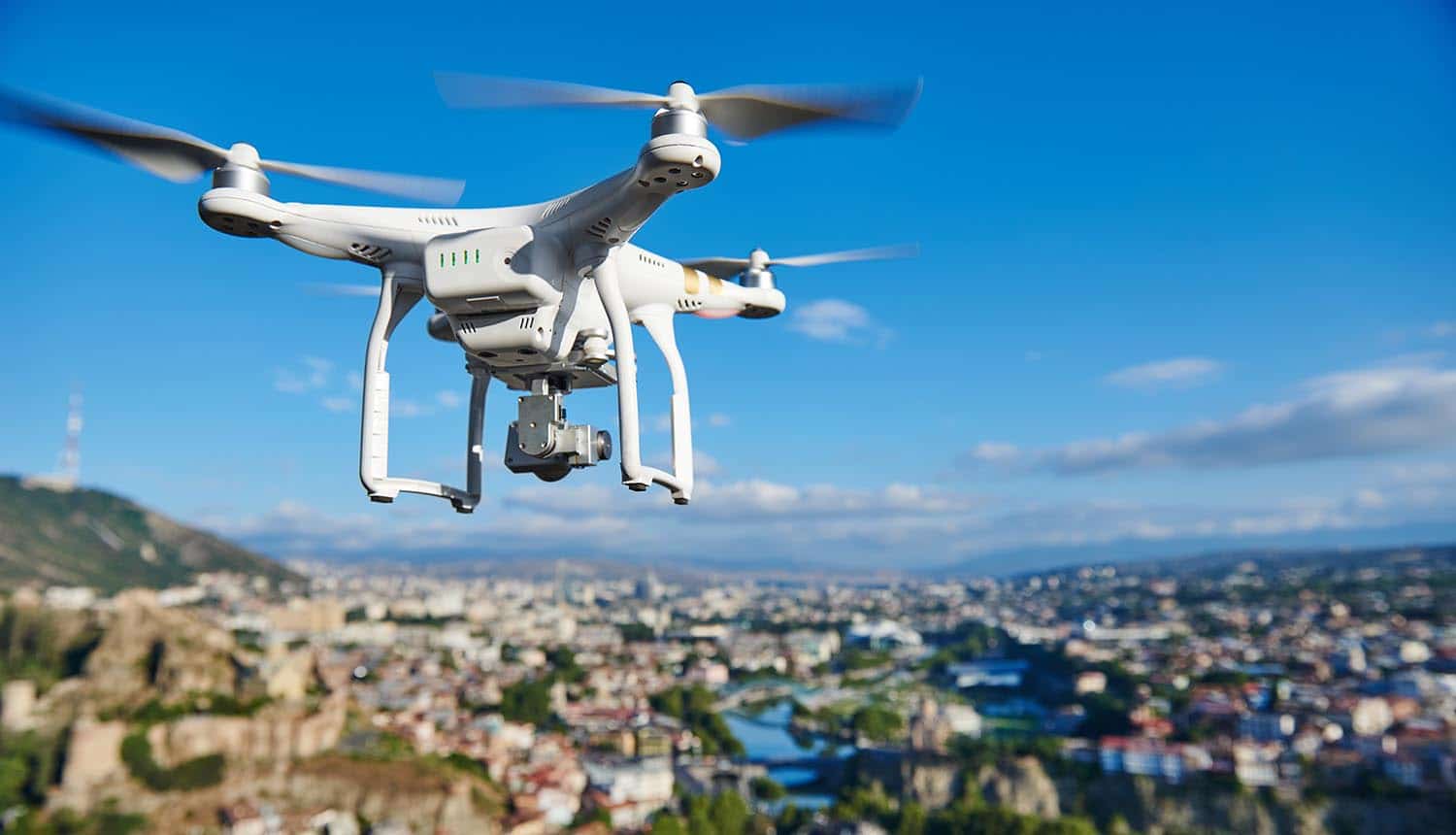
Sky elements drones are revolutionizing atmospheric observation. This technology allows for unprecedented data collection on clouds, atmospheric phenomena, and even airborne wildlife, previously inaccessible or achievable only at significant cost. The integration of advanced image processing and flight optimization techniques unlocks detailed insights into weather patterns, environmental conditions, and ecological dynamics, opening new avenues for scientific research and practical applications.
This exploration delves into the challenges and rewards of using drones to study sky elements, from identifying individual cloud types to optimizing flight paths for comprehensive data acquisition. We’ll examine image processing techniques, data analysis methods, and the ethical and legal considerations involved in this emerging field. We will also cover the practical applications of this technology in meteorology, environmental monitoring, and beyond.
Sky Element Identification in Drone Footage
Analyzing drone footage to identify sky elements presents unique challenges due to factors such as variable lighting conditions, atmospheric effects, and the inherent limitations of drone camera resolution. Accurate and automated identification of clouds, birds, and other atmospheric phenomena is crucial for various applications, ranging from meteorological research to environmental monitoring.
Challenges in Automated Sky Element Identification

Automatically identifying sky elements in drone video is complex. Variations in lighting, atmospheric conditions (haze, fog), and the often low resolution of drone cameras create significant difficulties for image processing algorithms. Distinguishing subtle cloud formations from birds or other airborne objects requires sophisticated techniques capable of handling noise and ambiguity. Furthermore, the dynamic nature of the sky, with constantly shifting cloud patterns and atmospheric changes, adds another layer of complexity to real-time identification and classification.
Image Processing Techniques for Enhancing Visibility
Several image processing techniques can improve the visibility of subtle sky elements in low-resolution drone footage. These techniques aim to reduce noise, enhance contrast, and sharpen details. Examples include contrast-limited adaptive histogram equalization (CLAHE) to improve contrast in unevenly lit areas, wavelet denoising to reduce noise, and edge detection algorithms to highlight boundaries between different sky elements. Advanced techniques like super-resolution algorithms can also be employed to increase the effective resolution of the footage, thereby improving the accuracy of element identification.
Sky elements drones, with their advanced capabilities, are revolutionizing aerial displays. For a spectacular example of what’s possible, check out the breathtaking visuals of the orlando drone show , a truly impressive demonstration of coordinated drone flight. The innovative technology showcased there highlights the potential of sky elements drones for future entertainment and beyond.
Cloud Classification Algorithms

Various algorithms exist for classifying different cloud types based on drone imagery. These algorithms often rely on features extracted from the images, such as texture, shape, and optical depth. Common approaches include machine learning techniques like convolutional neural networks (CNNs), which have proven effective in image classification tasks. Other methods utilize texture analysis and feature extraction to distinguish between various cloud types based on their visual characteristics.
The choice of algorithm depends on factors like the desired accuracy, computational resources, and the complexity of the cloud formations being analyzed.
Comparison of Cloud Detection Algorithms
| Algorithm | Computational Complexity | Accuracy (%) | Remarks |
|---|---|---|---|
| Simple Thresholding | Low | 60-70 | Simple but susceptible to noise and lighting variations. |
| CNN-based Classification | High | 85-95 | High accuracy but requires significant computational resources and training data. |
| Texture-based Feature Extraction | Medium | 75-85 | A balance between accuracy and computational cost. Performance depends heavily on feature selection. |
Drone Flight Optimization for Sky Element Observation
Optimizing drone flight paths is crucial for maximizing the capture of diverse sky elements and ensuring the collection of high-quality data. Careful planning considers factors such as wind conditions, lighting, and the desired spatial and temporal coverage of the observation area.
Strategies for Optimizing Drone Flight Paths
Several strategies can optimize drone flight paths for sky element observation. These include using pre-planned flight paths based on weather forecasts and wind predictions to ensure optimal positioning for capturing cloud formations. Employing automated flight control systems with obstacle avoidance capabilities enhances safety and efficiency. Adjusting altitude and camera angles allows for capturing both broad views of the sky and detailed close-ups of specific cloud formations.
Furthermore, incorporating multiple flight paths and overlapping coverage minimizes data gaps and ensures comprehensive data acquisition.
Example Flight Plan for Time-lapse Footage
A time-lapse sequence of cloud formations over a mountain range could involve a pre-programmed flight path that circles the mountain at a consistent altitude, capturing images at regular intervals (e.g., every 5 minutes) over a period of several hours. The drone’s camera would be pointed upwards to capture the evolving cloud patterns. The flight plan would account for potential wind drift and incorporate safety margins to avoid obstacles.
Post-processing would involve assembling the images into a time-lapse video.
Impact of Wind on Drone Stability and Accuracy
Wind significantly impacts drone stability and the accuracy of sky element observation. Strong winds can cause the drone to drift off course, leading to inaccurate data collection and potentially compromising the quality of the images. Wind speed and direction must be considered when planning flight paths and selecting appropriate drone models. High-quality data acquisition may require utilizing drones with advanced stabilization systems and wind resistance capabilities.
Necessary Sensor Equipment for High-Quality Data Acquisition
High-quality data acquisition of atmospheric phenomena requires specialized sensor equipment. Beyond a high-resolution camera, considerations include integrating sensors for measuring temperature, humidity, wind speed, and atmospheric pressure. These additional data points provide valuable context for interpreting the visual data captured by the drone’s camera. For advanced research, hyperspectral or multispectral cameras could be integrated to capture data across a wider range of wavelengths, providing additional insights into cloud composition and atmospheric properties.
Data Analysis of Drone-Captured Sky Elements
Analyzing drone-captured sky element data involves extracting quantitative information, visualizing spatial distributions, and identifying patterns and trends. Effective data management and analysis techniques are crucial for extracting meaningful insights from the large datasets generated by drone observations.
Methods for Extracting Quantitative Data
Quantitative data, such as cloud cover percentage and cloud height, can be extracted from drone imagery using image processing techniques. Cloud cover percentage can be determined by analyzing the proportion of pixels classified as clouds within a defined area. Cloud height estimation can be achieved using stereo vision techniques or by comparing the drone’s altitude with the apparent size and shape of the clouds in the images.
Advanced techniques such as photogrammetry can provide even more precise measurements of cloud height and three-dimensional cloud structure.
Visualizing Spatial Distribution of Sky Elements
Visualizing the spatial distribution of sky elements over time requires employing appropriate data visualization techniques. This could involve creating maps showing the spatial extent of cloud cover at different time points, or animations showing the movement and evolution of cloud formations. GIS software and specialized data visualization tools are commonly used for this purpose, allowing for the creation of interactive and informative visualizations that effectively communicate the spatial and temporal dynamics of the observed sky elements.
Data Structure for Storing and Analyzing Large Datasets
Storing and analyzing large datasets of drone-captured sky element information requires a well-organized data structure. A relational database, with separate tables for images, metadata (e.g., time, location, altitude), and extracted quantitative data, would provide a flexible and scalable solution. Each image could be linked to its corresponding metadata and extracted data points. This structured approach facilitates efficient querying and analysis of the data, enabling researchers to retrieve specific subsets of data for detailed analysis.
Using Statistical Methods to Identify Patterns and Trends
Statistical methods are essential for identifying patterns and trends in sky element behavior. Time series analysis can reveal temporal patterns in cloud cover, while spatial statistics can identify spatial correlations in cloud distribution. Regression analysis can be used to explore the relationships between sky element characteristics and other environmental variables, such as temperature and wind speed. These analyses can provide valuable insights into the dynamics of atmospheric processes and their underlying causes.
Applications of Drone-Based Sky Element Monitoring
Drone technology offers significant potential for advancing meteorological research and improving environmental monitoring through enhanced sky element observation. The cost-effectiveness and flexibility of drone deployments make them a valuable tool compared to traditional methods.
Applications in Meteorological Research
Drones are increasingly used in meteorological research for collecting high-resolution data on cloud properties, atmospheric stability, and other meteorological parameters. They provide a cost-effective means of obtaining data in areas that are difficult or impossible to access using traditional methods, such as remote mountain regions or over bodies of water. The detailed data acquired by drones can improve our understanding of cloud formation, precipitation processes, and other atmospheric phenomena.
Improving Weather Forecasting Accuracy
Drone-based sky element monitoring can significantly improve weather forecasting accuracy. The high-resolution data acquired by drones provides more detailed information about cloud structure and atmospheric conditions, which can be incorporated into numerical weather prediction models. This improved data input leads to more accurate and timely weather forecasts, benefiting various sectors such as agriculture, aviation, and disaster management.
Cost-Effectiveness Compared to Traditional Methods, Sky elements drones
Drone-based atmospheric observation offers significant cost advantages compared to traditional methods, such as weather balloons or manned aircraft. Drones are relatively inexpensive to operate, and they can be deployed quickly and easily to specific locations. This makes them a particularly attractive option for researchers and organizations with limited budgets. The ability to collect data repeatedly over time further enhances their cost-effectiveness.
Applications in Environmental Monitoring and Pollution Detection
Drone-captured sky element data can be used for environmental monitoring and pollution detection. For example, drones can be used to monitor air quality by measuring pollutant concentrations in the atmosphere. They can also be used to monitor the spread of pollutants from industrial sources or natural events such as volcanic eruptions. The ability to collect data over large areas and at high spatial resolution makes drones a valuable tool for assessing the impact of pollution on the environment.
Ethical and Legal Considerations of Drone-Based Sky Observation: Sky Elements Drones
The use of drones for sky observation raises several ethical and legal considerations that require careful attention. Responsible drone operation is essential to ensure both safety and compliance with regulations.
Ethical Implications

Ethical considerations include minimizing disruption to wildlife habitats, respecting privacy, and ensuring data security. Drone operations should be planned to avoid disturbing sensitive wildlife populations, especially during breeding seasons. Data collected should be handled responsibly and used ethically, with appropriate measures in place to protect sensitive information.
Legal Regulations Governing Drone Use
Legal regulations governing the use of drones for aerial data acquisition vary by country and region. Operators must comply with all relevant regulations, including obtaining necessary permits and licenses, respecting airspace restrictions, and adhering to safety guidelines. It is crucial to stay informed about the latest regulations and updates to ensure legal compliance.
Potential Safety Hazards
Operating drones for extended periods in various atmospheric conditions presents potential safety hazards. Strong winds, rain, and low visibility can compromise drone stability and control, potentially leading to accidents. Operators must assess weather conditions carefully before each flight and avoid operating drones in hazardous conditions. Regular maintenance and pre-flight checks are also crucial for ensuring safe operation.
Best Practices for Responsible Drone Operation
- Obtain necessary permits and licenses before operating a drone.
- Conduct thorough pre-flight checks to ensure the drone is in good working order.
- Avoid operating drones in hazardous weather conditions.
- Maintain visual line of sight with the drone at all times.
- Respect airspace restrictions and avoid flying near airports or other restricted areas.
- Operate drones responsibly and ethically, minimizing disruption to wildlife and respecting privacy.
- Handle data responsibly and securely.
Drone-based sky element monitoring represents a significant advancement in atmospheric observation, offering a cost-effective and efficient means of gathering valuable data. By combining sophisticated image processing, optimized flight planning, and robust data analysis techniques, researchers and practitioners can unlock a wealth of information about our atmosphere. The ethical and legal considerations discussed highlight the importance of responsible data acquisition and deployment of this innovative technology, ensuring its benefits are realized while mitigating potential risks.
Sky elements drones offer a fascinating perspective on aerial technology, allowing for innovative applications in various fields. Interestingly, the precision and tracking capabilities reminiscent of sky elements drones are also mirrored in the logistical marvel that is the North American Aerospace Defense Command’s Santa tracking system; you can even find the norad santa tracker phone number online.
This highlights how advanced tracking systems, whether for festive fun or serious operations, share underlying principles of sophisticated navigation and data analysis. The future of sky elements drones undoubtedly lies in further advancements in these very areas.
The future of atmospheric science and environmental monitoring is undoubtedly intertwined with the continued development and responsible application of sky elements drones.
Popular Questions
What types of drones are best suited for sky element observation?
The optimal drone depends on the specific application. High-resolution cameras are crucial for detailed imagery, while longer flight times are essential for extended observations. Features like GPS and obstacle avoidance are also important for safe and efficient operation.
How accurate is cloud detection using drone imagery?
Accuracy varies depending on the algorithm used, image quality, and atmospheric conditions. Advanced algorithms coupled with high-resolution imagery can achieve high accuracy, but factors like lighting and cloud density can still affect results.
Sky elements drones are revolutionizing aerial displays, offering breathtaking spectacles with their advanced technology and precise choreography. For a prime example of this innovative technology in action, check out the stunning visuals showcased at the florida drone show. The show’s success highlights the potential of sky elements drones to create unforgettable experiences, pushing the boundaries of what’s possible in aerial entertainment.
What are the limitations of using drones for sky element observation?
Limitations include flight time restrictions, weather dependency (wind, rain), regulatory restrictions on flight zones, and potential safety hazards associated with drone operation.
What software is commonly used for analyzing drone-captured sky element data?
Various software packages are used, ranging from image processing software like ImageJ and ENVI to specialized GIS and meteorological software depending on the data and analysis goals.